Individual Tree Segmentation and Tree Health Analysis using Airborne Imagery
Problem statement
Trees provide us with oxygen, sequestrate CO2, take up air pollutants, offer habitat for animals, alleviate the effects of urban heat islands and thus are crucial for our health and the environment. Yet, especially in urban areas, trees are continuously exposed to pollution, soil compaction, exhaust gases and physical damages. If not managed accordingly, damaged trees can cause serious accidents, damaging people and property.
It is thus necessary to assess the tree health status of trees in the public space regularly by combining aerial imagery and ground surveys. Currently this health assessment is done manually by an expert who looks at the imagery and assigns a health score based on his own expertise. This manual process takes a lot of time and requires hiring or having an expert within the company, so it would be beneficial to further automate this process by training efficient algorithms that can analyse trees and make health assessments based on the RGB and infrared bands of aerial imagery.
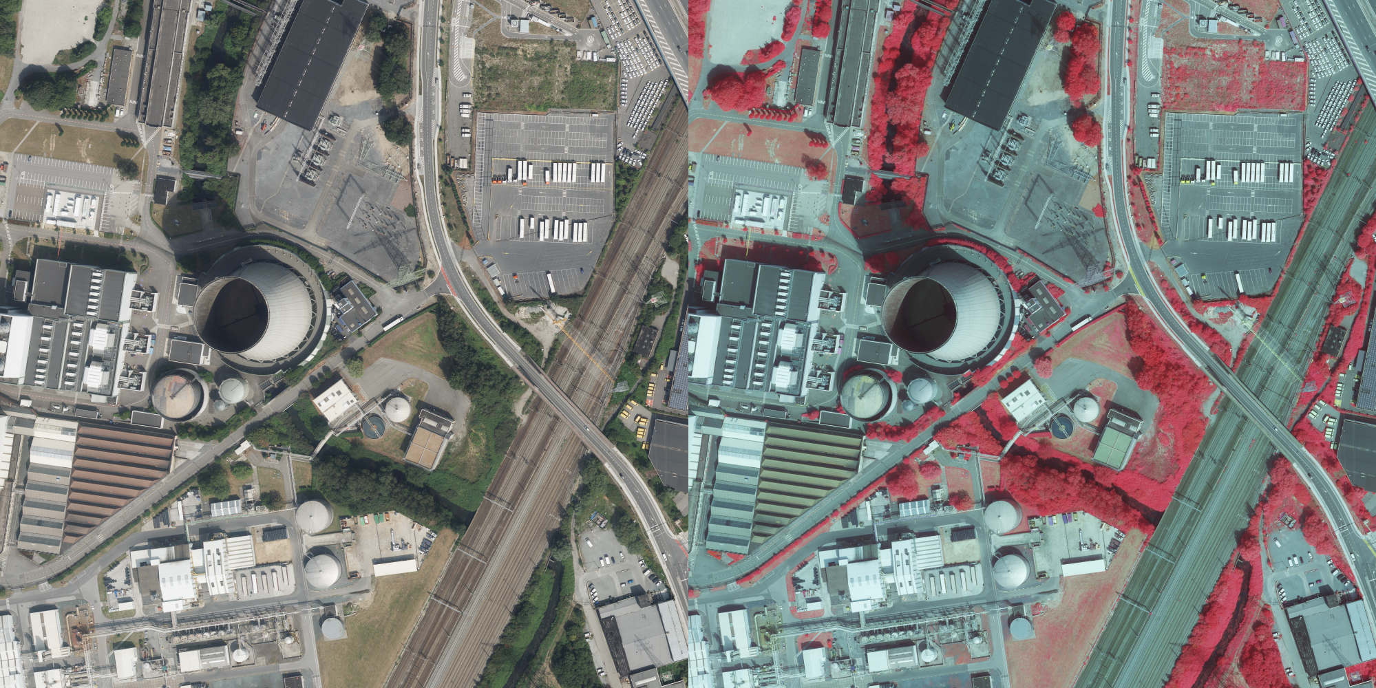 Figure 1: Aerial orthophoto in RGB (left) and colour-infrared (right) used to asses the three health in urban areas.
Goal
The goal of this master thesis is to develop efficient algorithms that can assess the health of trees captured on aerial imagery, and explore strategies that can further improve these algorithms. The ultimate purpose of the developed algorithms is to be able to classify detail cutouts of individual trees from colour-infrared data into five health classes, as defined by an expert at Eurosense, at a high accuracy.
This thesis has been conducted by Thomas Xanthakis (Thomas.Xanthakis@UGent.be).